

Drone photography & videography to capture every milestone – CSCS card holders – 10 million Public Liability Insurance – 500+ Jobs Completed
Construction Progress Monitoring
Airtek Surveys Ltd delivers professional drone‑based construction progress monitoring for residential, commercial and infrastructure projects across the UK. Our 48MP images and 4K videos provide clear, repeatable visual evidence of site activity, helping project teams track progress, support valuations and communicate updates with confidence.
We work with main contractors, developers, project managers, surveyors and asset owners who need accurate, date‑stamped records throughout the construction programme.
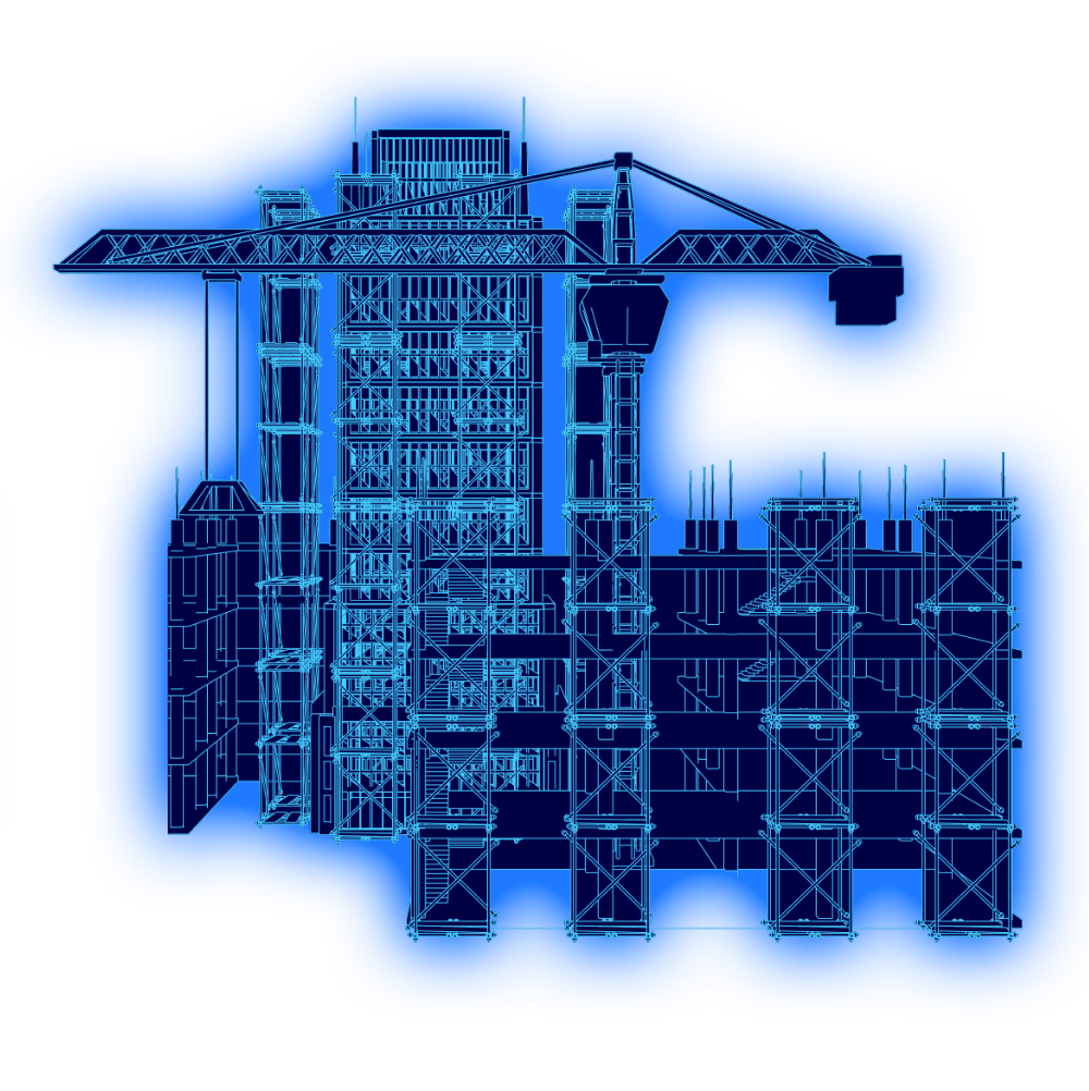
What is construction progress tracking? Best practices - best results
Construction progress monitoring is the process of capturing regular, consistent visual data that shows how a project is developing over time. Using drones, we provide high‑resolution imagery, orthomosaic mapping and optional 3D models that give a complete overview of the site from above.
This approach improves visibility, strengthens reporting and reduces uncertainty, especially on fast‑moving or complex projects.
Airtek surveys
Best practices in construction progress monitoring
Effective construction progress tracking relies on consistent, accurate, and repeatable data. At Airtek Surveys, we follow strict industry best practices to ensure every drone survey delivers clear, actionable site intelligence.
Consistent Capture Points
We use automated, fixed flight paths and repeatable camera angles. This ensures each dataset can be directly compared over time, making your progress tracking reliable and audit‑ready.
The Right Survey Frequency
Monitoring intervals are precisely matched to your programme pace—weekly for fast‑moving groundworks or fit-out phases, and monthly for slower stages—keeping updates highly relevant and cost‑efficient.
Clear Visual Reporting
High‑resolution imagery is paired with concise commentary that highlights key changes, site risks, and deviations from planned works, helping project teams make quick, informed decisions.
Seamless Workflow Integration
Airtek delivers survey-grade orthomosaics, high-res imagery, and 3D models in standard formats compatible with your existing BIM platforms, project management tools, and client reporting templates.
Safety‑Led Drone Operations
Every flight operates under robust, site-specific RAMS. We coordinate closely with your team around tower cranes, exclusion zones, and live works to ensure safe, compliant, and completely disruption‑free monitoring.
Why?
Why choose drone‑based progress monitoring?
Drone images and footage offers a level of clarity and coverage that traditional ground‑level photography cannot match.

Key benefits:
Full‑site visibility with high‑resolution aerial imagery 4K video and mapping
Reliable documentation through date‑stamped records for programme updates, projects progress
Early identification of risks, delays and access constraints
Improved stakeholder communication with visuals that are easy to interpret
Safer and more efficient monitoring of high‑risk or restricted areas
These advantages make drone progress monitoring a valuable tool for project controls, commercial teams and client reporting.
Our construction site progress monitoring service
We design each monitoring programme around your site layout, construction schedule and reporting requirements. Flights are carried out at agreed intervals, weekly, fortnightly or monthly from consistent capture points to ensure accurate comparison over time.
Aerial progress imagery covering the full site footprint
Progress 4K videos for websites & social media
Orthomosaic site plans for logistics, access and structural review
3D photogrammetric models
Annotated visual reports highlighting key changes, risks and milestones
Typical applications
Tracking planned vs actual progress
Supporting valuations and extension‑of‑time claims
Reviewing logistics, laydown areas and crane coverage
Providing clear updates to clients, investors and stakeholders
Creating professional imagery for marketing, PR and project documentation
Progress Steps
How our monitoring progress works
Initial consultation
We review your programme, site constraints and reporting needs, then agree flight frequency and deliverables.
Permissions and RAMS
We manage aviation permissions, site inductions and RAMS to ensure safe and compliant operations.
Scheduled drone flights
Our pilots attend site at agreed intervals, capturing consistent aerial data with minimal disruption.
Processing and analysis
Imagery is processed into maps, models and reports, with key changes clearly identified.
Delivery and integration
Outputs are provided via secure cloud links and can be embedded directly into your reporting templates, BIM platforms or document management systems.
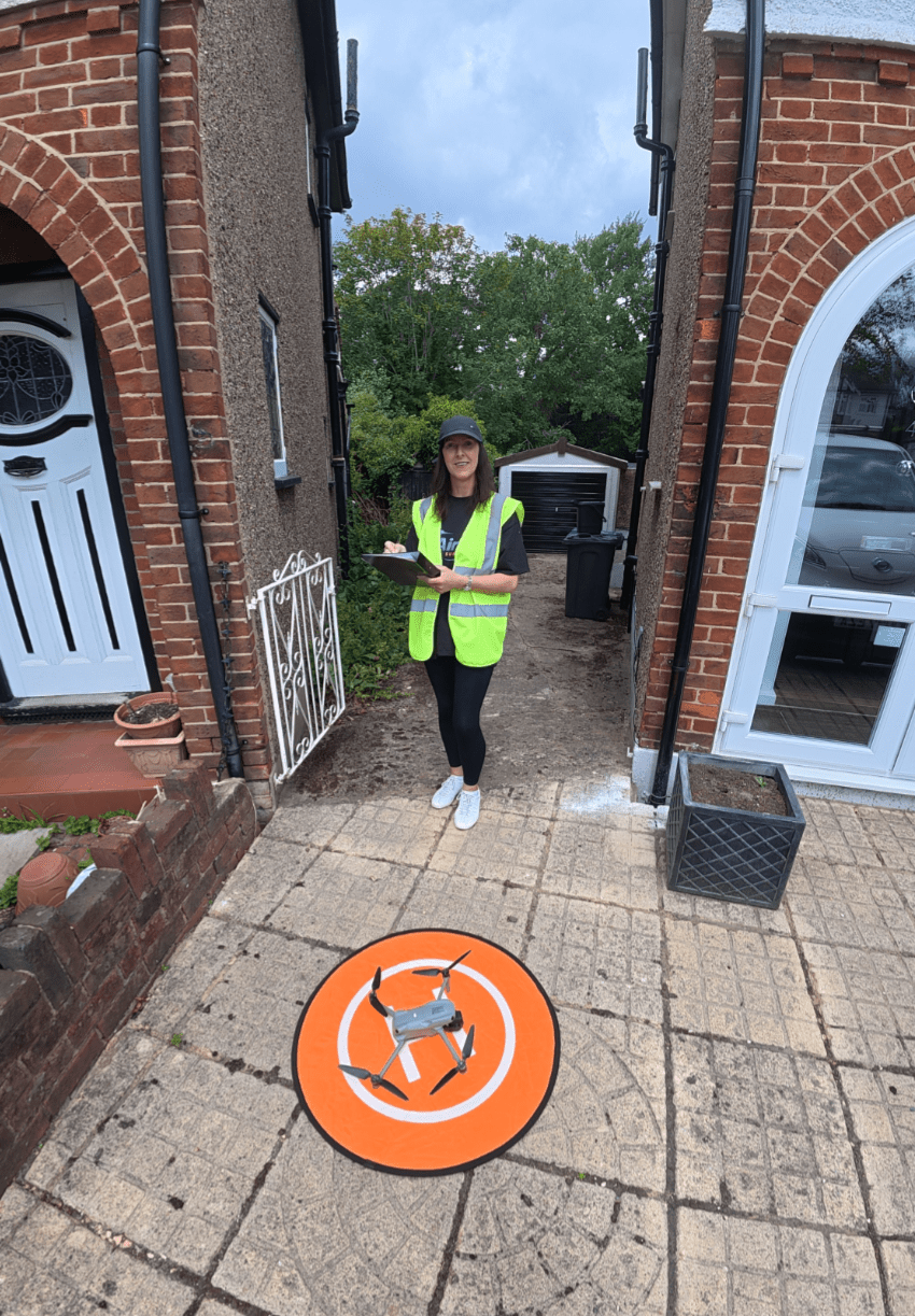
Airtek Surveys Ltd provides construction progress monitoring
Construction projects we support:
Residential developments and regeneration schemes
Commercial and industrial projects
Infrastructure and civil engineering works
Education, healthcare and public‑sector buildings
Our experience across multiple sectors ensures reliable, construction‑aware drone operations.
Safety, compliance and data security
All drone operations are carried out by A2CofC or GVC trained, insured pilots working under robust risk assessments and method statements. We coordinate closely with site management to ensure safe flight paths, exclusion zones and minimal impact on live works.
We follow UK aviation regulations and deliver all imagery and reports through secure, access‑controlled platforms.
Challenges in construction progress reporting
Managing a modern construction site involves constant moving parts. Traditional methods of tracking and reporting site progress often lead to blind spots, delays, and commercial friction. Project teams frequently face several key challenges:

Subjective & Fragmented Data
Standard ground-level photos taken on mobile phones offer a limited perspective. They fail to capture the true scale of a site, leading to “he-said, she-said” disputes over actual progress versus planned schedules.

Disrupted Site Workflows
Traditional progress site walks take up valuable time from project managers and can get in the way of live, fast-moving site works.

The "Invisible" High-Risk Areas
Safely inspecting complex roof structures, tower crane setups, or high-risk scaffolding zones using ground staff is slow, expensive, and introduces unnecessary health and safety risks.

Poor Stakeholder Alignment
Off-site investors, bank monitors, and clients often struggle to fully grasp text-heavy spreadsheet updates or poorly angled ground photos, leading to miscommunication.

Delayed Commercial Valuations
Without irrefutable visual proof of completed works, monthly valuations and variation approvals can stall. This directly impacts cash flow and relationships between main contractors, sub-contractors, and clients.
Construction Progress Monitoring FAQs
What is construction progress monitoring?
It’s an independent check of how your project is progressing against the programme, design, and specification. We provide clear visual evidence including 48 MP images and 4K video.
Why do I need independent monitoring?
It reduces risk, improves transparency, developers, contractors, lenders, and insurers rely on unbiased reporting to keep projects on track.
Where is construction progress monitoring used?
Construction progress monitoring images and video can be used for your website and social media.
How often should monitoring be done?
Most projects choose monthly or fortnightly visits, but we tailor the schedule to your programme and reporting needs.
Do you use drones for progress monitoring?
Yes. Drone surveys capture large areas quickly and provide consistent, repeatable visuals that show real progress over time.
Can you monitor multiple sites?
Absolutely. We support single projects, phased developments, and multi‑site portfolios with consistent reporting across all locations.
Can the outputs integrate with our existing systems?
Yes. We supply imagery, maps and reports in formats suitable for BIM platforms, project management software and standard reporting templates.
What information do you need to begin?
A site plan, programme overview, contact details for the site team and any specific reporting requirements.
How does Airtek Surveys Ltd ensure data integrity and traceability for construction disputes or insurance claims?
Airtek Surveys Ltd provides audit-ready drone data to support legal and commercial claims. Every aerial photograph and video contains untampered EXIF metadata, capturing the exact date, split-second timestamp, precise GPS coordinates, and camera telemetry directly within the raw file. This ensures irrefutable, legally defensible visual evidence. Furthermore, Airtek Surveys Ltd maintains immutable digital flight logs for every deployment, providing a flawless chain of custody for all project assets.
How does Airtek Surveys Ltd handle data privacy, UK GDPR, and neighbouring properties?
As a professional UK drone operator, Airtek Surveys Ltd strictly adheres to UK GDPR and Information Commissioner's Office (ICO) guidelines. Drone flight paths are engineered to minimise the overflight of non-involved properties and members of the public. During data processing, any identifiable faces, vehicle registration plates, or sensitive neighbouring data captured inadvertently are automatically blurred before final delivery.
How long does Airtek Surveys Ltd retain project data, and where is it stored?
All aerial data processed by Airtek Surveys Ltd is hosted on secure, access-controlled, UK-based cloud servers. Active links to project data are maintained for the duration of the construction contract. Post-project completion, Airtek Surveys Ltd securely archives all imagery, maps, and flight logs for a minimum of 3 years to assist clients with latent defects, insurance claims, or post-handover commercial reviews.
Can Airtek Surveys Ltd tie drone mapping data to the British National Grid?
Yes. For project teams requiring absolute spatial traceability, Airtek Surveys Ltd utilizes RTK (Real-Time Kinematic) drone positioning and physical Ground Control Points (GCPs). This allows our team to anchor 2D orthomosaic site plans and 3D photogrammetry models directly to the British National Grid (OSGB36) coordinate system. This step ensures survey-grade accuracy that aligns perfectly with engineering site plans, CAD files, and BIM models.
How do I book a progress monitoring survey?
Contact AIRTEK Surveys with your project details and we’ll create a monitoring plan that fits your timeline and requirements.
REAdy TO see WHAT’S possible?
Request construction progress monitoring
If you want clearer visibility, stronger reporting and reliable documentation for your construction project, Airtek Surveys Ltd can help.
our Accreditations





Opening Hours
Monday to Friday: 8am – 6pm
Saturday: 8am – 5pm
Sunday: 8am – 3pm
Registered Address: Airtek Surveys Ltd (formerly South London Drones Ltd) | Airport House | 265 Purley Way | Croydon | CR0 0XZ
Company Registration Number: 13071144 VAT Number: 516 6255 90